See Earth Crack in Real Time: 2.5-Meter Fault Slip Caught on Camera
© Freepik
Imagine a quiet day suddenly interrupted by the ground splitting apart right before your eyes.
This is exactly what happened in Myanmar in March 2025, when a powerful earthquake shook the region.
A security camera captured something extraordinary: the Earth’s surface sliding 2.5 meters in just over a second.
This rare video is helping scientists learn more about earthquakes and how they work. Let’s dive into this incredible event and what it means for the future.
A Historic Earthquake Caught on Camera

On March 28, 2025, a 7.7 magnitude earthquake struck central Myanmar near the city of Mandalay. It was the strongest quake in the region in over 100 years and caused widespread damage.
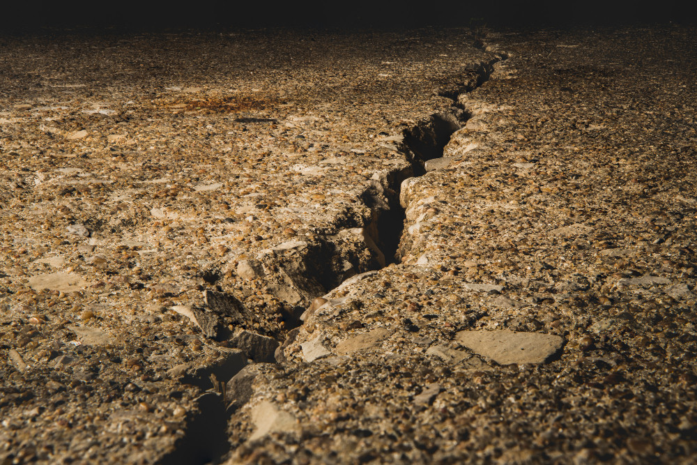
The earthquake happened along the Sagaing Fault, a major crack in the Earth where two massive pieces of the planet’s crust slide past each other. This type of movement is called a strike-slip fault, and it’s like two giant blocks rubbing against each other.
What makes this event so special is that a CCTV camera near the fault line recorded the ground moving in real time. The footage shows the land on one side of the fault sliding northward, creating a visible crack.
Scientists at Kyoto University studied this video and found that the ground shifted 2.5 meters in just 1.3 seconds, moving at a speed of 3.2 meters per second. This was the first time such a clear video of a fault rupture was captured, making it a big deal for earthquake research.
What the Video Tells Us
The Myanmar earthquake footage revealed some surprising details. For one, the fault didn’t move in a straight line—it curved slightly. This matches what scientists have seen in the past when studying marks on rocks called slickenlines, which show how faults have moved over time.
The video confirms that these curved patterns happen during earthquakes, giving researchers a clearer picture of how the Earth behaves during these events.
The video also showed a “pulse-like” rupture, where the ground moved in a quick, intense burst. This is different from a slow, steady slide and helps explain how energy travels through the Earth during an earthquake.
By studying the footage frame by frame, scientists used a method called pixel cross-correlation to track the exact movements. This detailed analysis is helping them understand how faults work and could improve predictions about future earthquakes.
Why This Matters for the Future
This video isn’t just a cool clip—it’s a game-changer for earthquake science. Before this, scientists relied on data from faraway instruments, which could only guess at what was happening at the fault itself. Now, with clear video evidence, they can see exactly how the ground moves. This could lead to better early warning systems and stronger buildings in areas prone to earthquakes.
The success of this accidental recording has scientists thinking about using more cameras to monitor fault lines. Since CCTV cameras are already common, they could be used to create a network for watching earthquakes in real time.
This could help save lives by giving people a few extra seconds to take cover when an earthquake hits. The Myanmar earthquake footage is a big step toward making communities safer and understanding our planet better.
You might also want to read: Earth Is Spining Faster and Scientists Are Considering Doing Something They Have Never Done Before